IMAGE
Utajée X’áat’i Item Info
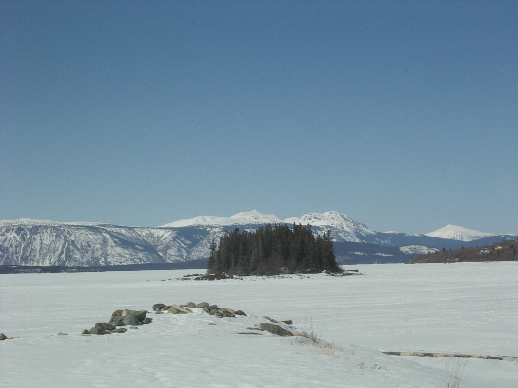
- Title:
- Utajée X’áat’i
- Description:
- "In the middle," also called Second Island
- Subjects:
- islands
- English map name:
- Second Island, BC
- Latitude:
- 59.567796
- Longitude:
- -133.7220955
- Source:
- https://trt.geolive.ca/map.html?mapitem=[44]
- Type:
- Image;StillImage
- Format:
- image/jpg
Source
- Preferred Citation:
- "Utajée X’áat’i", Tlingit Placenames - Demo Site,
- Reference Link:
- https://skyefree.github.io/dhsi-csv-demo-trt/items/demo_trt_008.html
Rights
- Rights:
- This information belongs to the Taku River Tlingit First Nation, and should only be shared with permission.